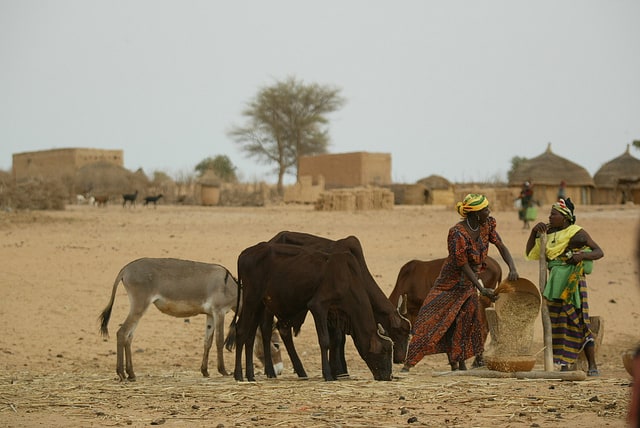
A new mapping procedure developed by scientists at ILRI uses Demographic Health Surveys (DHS) data to bring out spatial patterns of socio-economic factors among livestock herders and systems. The map creation procedure incorporates three innovations: how the DHS data is stored, use of big data approaches to integrate datasets from different countries and use of machine learning.
New ILRI procedure helps to map livestock keeping patterns