News Archives:
July 16, 2018
This tool will guide spatial targeting of sustainable intensification technologies to provide ‘best fit’ options for risk reduction and enhancement of local adaptation of farmers within target geographies.
July 3, 2018
This project will monitor potato diversity and distribution in the Andes by developing an open source application as a tool to help identify traditional potato varieties from photos using a visual recognition software.
July 3, 2018
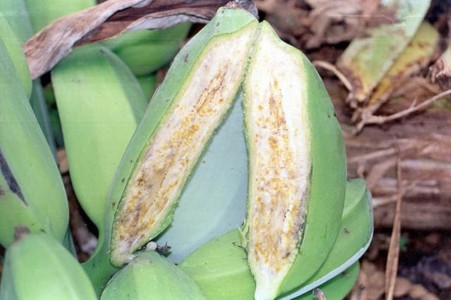
This innovation will provide farmers and extensionists with mobile phone-based Banana Xanthomonas Wilt (BXW) management advice that’s based on their report of BXW incidence and severity.
July 3, 2018
This project will generate new geocoded soil data and leverage the transformative potential of artificial intelligence to provide an estimate and an indicator of soil health.
July 3, 2018
This project will build a platform with location-based information on when and where which products are sown and harvested by local farmers to avoid temporal overflows of local markets with certain goods and ensure a more continuous and balanced flow of seeding and harvesting throughout the year.
July 3, 2018
This innovation will explore how data at different scales can be collected, validated and used to provide a near real-time prediction of livestock numbers in a specific location.


