Geospatial Data
Community of PracticeWelcome!
The Community of Practice on Geospatial data is led by IFPRI and has been launched as a part of the CGIAR Platform for Big Data in Agriculture.
This community facilitates CGIAR’s research using geospatial data and analysis, undertaking activities to bring spatial scientists together through coordinated communication, community-developed products, and the convening of members at various events to represent CGIAR in the geospatial domain of expertise.
This space can be used as a discussion area, share and request relevant information and contribute towards building the community as a whole.
Community Partners
We work closely with our external partners in academia, donors, and public/private sectors – including ITC, Esri, Digital Globe, and Geospatial and Farming Systems Research Consortium.
Community Members
Members of CGIAR-CSI include all geospatial scientists across CGIAR. Community-wide activities are coordinately by the Global Coordinator. Center-level activities are coordinated by the Center Representative. Currently (as of October 2017), CGIAR-CSI reaches to 90 members across all 15 CGIAR Centers.
If you use geospatial data and analyses in CGIAR, join our community! For external party interest, please sign up for updates or email us direct.
Get in touch
CoP Lead
Jawoo Koo | Email
The CSI-CoP formed in 2017 and is led by Agricultural Engineer and Senior Research Fellow Jawoo Koo at the International Food Policy Research Institute (IFPRI) in Washington D.C, U.S.
Administration
Michelle Fotsy | Email
At the International Food Policy Research Institute (IFPRI) in Washington D.C, U.S
Ivy Romero | Email
At the International Food Policy Research Institute (IFPRI) in Washington D.C, U.S
![]()
Engage with the Community
BE INFORMED
Tune in to the latest CoP updates by subscribing to our newsletter.
ENGAGE
Interact with community members through our LinkedIn Group.
Thank you for your interest in joining the GeoSpatial Community of Practice
Members of CGIAR-CSI include all geospatial scientists across CGIAR. Community-wide activities are coordinately by the Global Coordinator. Center-level activities are coordinated by the Center Representative. Currently, CGIAR-CSI reaches to 90 members across all 15 CGIAR Centers. The following spaces are available for direct collaboration and communication on community projects.
SharePoint:
CGIAR MEMBERS ONLY: Hosted and managed by IFPRI, authenticated access leads to a discussion forum, CoP resources, events, tasks, contact information and working groups. It’s a private and secure location where CGIAR CoP members can share working documents, optimize workflows, and brainstorm. Join here.
Community News
Some articles in this section were originally posted on the CGIAR Consortium for Spatial Information (CGIAR-CSI) website.

Webinar – Next-gen crop production analytics

Webinar – Digital innovations in agriculture
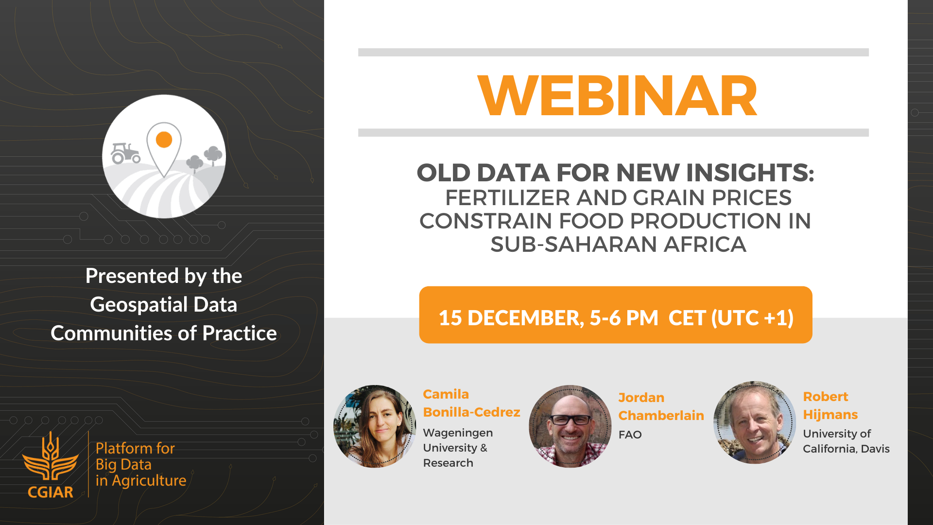
Webinar – Old data for new insights
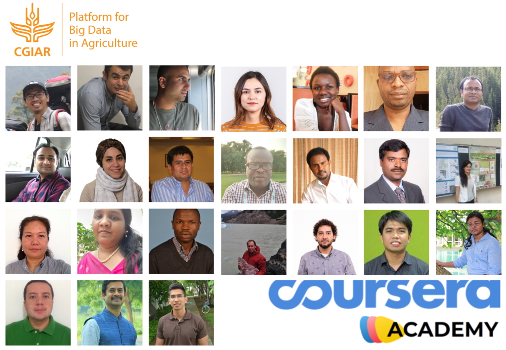
Introducing “CGIAR Data Science Academy”

Mapping Forest Conservation, Vulnerability and Restoration
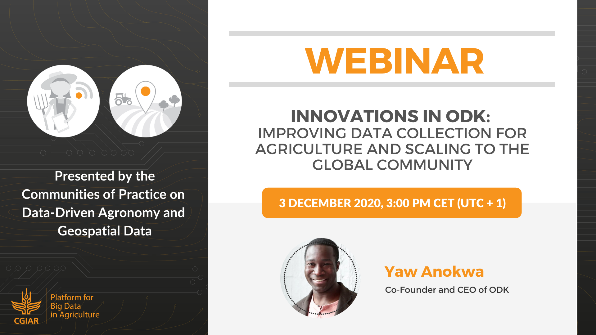
Innovations in ODK: Improving Data Collection for Agriculture and Scaling to the Global Community
Resources
2017 Work Plan – Detailed description of expected outcomes and deliverables for 2017
2018 Work Plan – Detailed description of expected outcomes and deliverables for 2018
2019 Work Plan – Detailed description of expected outcomes and deliverables for 2019
2020 Work Plan – Detailed description of expected outcomes and deliverables for 2020
Interested in joining our community of practice?
Sign up to our mailing list for community news and updates.
