Webinar – Digital innovations in agriculture
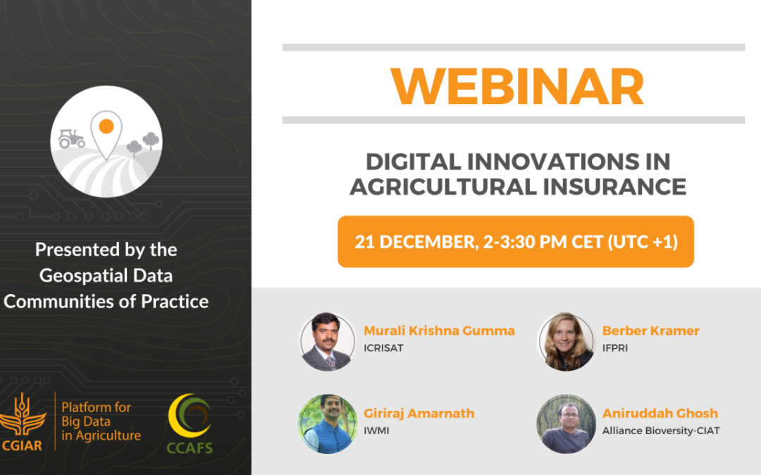
This webinar by the Geospatial Data Community of Practice presents four applications of digital innovations for index-based agricultural insurance products.
Agricultural insurance is an increasingly important safety net against production losses from weather and climate shocks. Index insurance using geospatial data and real-time analytics has been one of the most important (and popular!) research topics in our community.
In this end-of-year special/spatial webinar, jointly organized by CGIAR Platform for Big Data in Agriculture and CGIAR Research Program on Climate Change, Agriculture and Food Security (CCAFS), four pioneering colleagues present applications of digital innovations for index-based agricultural insurance products.
- Remote sensing for agriculture resilience: Linking insurance and technology – Murali Krishna Gumma (ICRISAT)
- Eyes on the ground: Using smartphone images and ML for crop monitoring – Berber Kramer (IFPRI)
- Underwater – Loss, flood insurance: evidence and potential at the global scale – Giriraj Amarnath (IWMI)
- Can technological advances lead to the “perfect” index insurance design? – Aniruddha Ghosh (Alliance Bioversity-CIAT)
The four presentations are followed by a moderated panel discussion to discuss where more research is needed to promote climate-resilient food, water, and land systems.
Speakers
Murali Krishna Gumma
International Crops Research Institute for the Semi-Arid Tropics
Berber Kramer
International Food Policy Research Institute
Giriraj Amarnath
International Water Management Institute
Aniruddha Ghosh
Alliance of Bioversity International and CIAT
December 28, 2021

