News Archives:

February 22, 2022
This webinar, co-presented by the Geospatial Data Community of Practice and the Enabling Crop Analytics at Scale Initiative, present a new two-stage crop production analytics approach to addressing the dual issues of inefficient ground-truth sampling design and inaccurate in-field crop yield measurement methods.
December 28, 2021
This webinar by the Geospatial Data Community of Practice presents four applications of digital innovations for index-based agricultural insurance products.
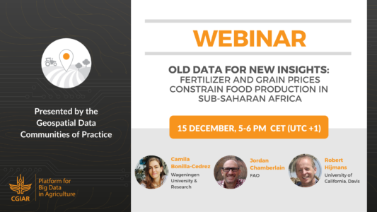
December 16, 2021
This webinar by the Geospatial Data Community of Practice presents a new study published in Nature Food. Panelists show that filling ecological yield gaps for maize in Sub-Saharan Africa is not necessarily a reasonable goal and share how CGIAR’s GARDIAN enabled them to find experimental observations from maize trials and analyze them using a machine learning model to estimate maize response to fertilizers.
February 16, 2021
The Geospatial CoP conducted an online survey to collect CGIAR’s machine learning use-cases and based on the selection criteria, they selected 25 CGIAR scientists to participate in a pilot program in partnership with Coursera Data Science Academy.
January 26, 2021
The Alliance of Bioversity and CIAT developed a research method for mapping the vulnerability of food tree species by combining detailed geospatial analysis on key threats with data on the distribution of target tree species and their sensitivities to the threats.
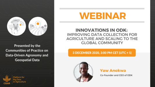
December 4, 2020
The CGIAR CoPs on Geospatial Data and Data-Driven Agronomy jointly organized a webinar on Open Data Kit (ODK), the world’s most popular open-source data collection platform.