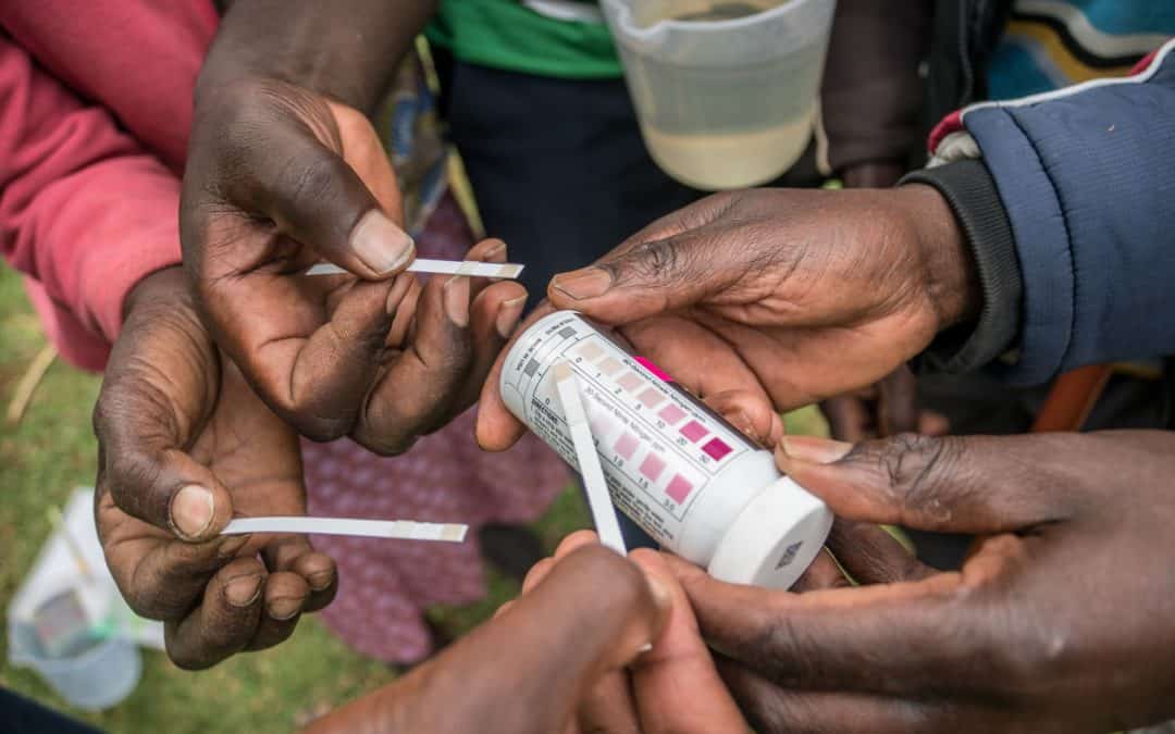
CIFOR started monitoring water levels and quality in the Sondu Basin of South-West Mau in 2014 using automatic sensors. These generated the first ever precise data set of water flow and water quality information, available continuously over two years. But now, locals...
Intrigued by the unique relationship our food crops have to their geographical environment, Lorena Gonzalez dedicated her passion for geomatic technology to collect site-specific farm data that is revolutionizing the way researchers and farmers tackle hunger.
As part of its worldwide AI for Earth program, Microsoft has recently announced grants to provide artificial intelligence (AI) technology to organizations engaged in solving environmental challenges. ICRISAT is one of the grantees and will now be able to use Microsoft...
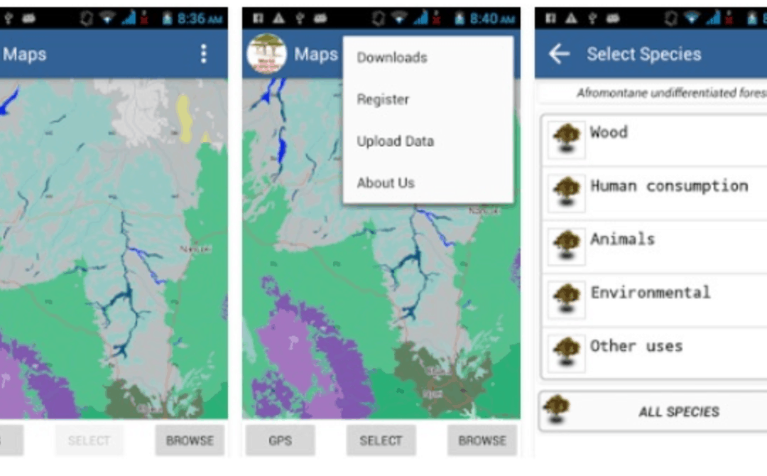
This App developed by ICRAF shows the distribution of indigenous tree species and information on the products and services that they can provide. It arms local community members, government agencies, private sector owners, and other land managers with the information...
A new mapping procedure developed by scientists at ILRI uses Demographic Health Surveys (DHS) data to bring out spatial patterns of socio-economic factors among livestock herders and systems. The map creation procedure incorporates three innovations: how the DHS data...