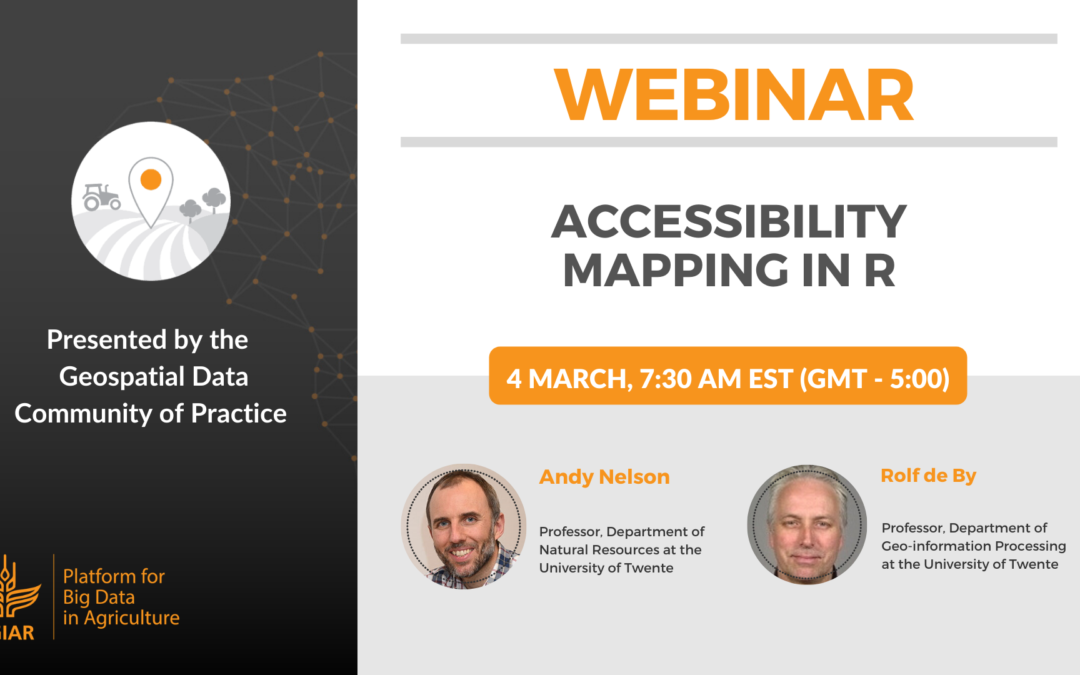
Webinar – Accessibility Mapping in R
Webinar organized by the Geospatial Data Community of Practice by the CGIAR Platform for Big Data in Agriculture.
Good access to resources and opportunities is essential for sustainable development. Improving access, especially in rural areas, requires useful measures of current access to the locations where these resources and opportunities are found. In this webinar, Andy Nelson and Rolf de By will share some theory on mapping travel time on a raster surface – in R – and demonstrate how to generate the input layers and compute travel time to target locations using a precooked example and dataset for Bhutan.
The method is the same as published in recent articles on global travel time mapping, but we use a smaller geographic extent to make it practical for this session:
Presenters
Andy Nelson
Professor, Department of Natural Resources, The University of Twente
Andy Nelson is a Geographer specializing in the management, development, and leadership of spatial research on agricultural systems, food security and their relation to natural resource management. Nelson’s research has focused on how spatial information can be combined with other sources of information to provide better, faster and more detailed data on the “where”, “when”, “how” and “how much” of agricultural production. He uses remote sensing data and GIS models to characterize and monitor crop production situations to estimate crop area, seasonality, production, and losses.
Rolf de By
Professor, Department of Geo-information Processing, The University of Twente
The main characteristic of de By’s research interests is that he aims to improve the understanding of how the art in computer science can be turned into technique, in the domain of applications of spatial databases and GIS technology. In most other fields of life, he prefers art over technique. de By enjoys trying to improve existing techniques (of spatial data handling in the wide sense) so that they become more elegant, robust, trustworthy, more repeatable, more generic, and easier to understand and apply. Preferably all of that.
March 11, 2020


