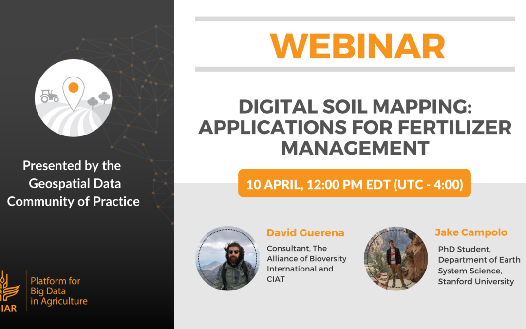
Webinar – Digital soil mapping: Applications for fertilizer management
Webinar organized by the Geospatial Data Community of Practice of the CGIAR Platform for Big Data in Agriculture.
We live in the age of ‘Big Data’. While these new tools are transforming lives at a rapid pace, there are still many opportunities to apply big data approaches to improve on previous efforts in agricultural analytics.
In this webinar, we present two approaches to build on traditional analytical to link soil data to agronomic and fertilizer recommendations at the landscape-scale.
Click here to download the PDF of the webinar presentation.
Speakers
David Guerena
Consultant
The Alliance of Bioversity International and CIAT
Jake Campolo
PhD Student
Department of Earth System Science, Stanford University
Follow-up responses on unanswered questions from the live session:
Q: It will be important to groundtruth your fertilizer recommendations before you can roll it out or recommend it for policy.
A: That’s absolutely true. Our approach is useful for the hypothesis generation, e.g., to understand what the important limiting factors are in soil, using available data from in-field observation and remote sensing. To take it the next level, more validation trails will be needed.
Q: Does this approach work rely on trials in specific soil types?
A: We used soil type as one of covariates, along with remote sensing data and yield estimates from crop models. Machine learning tools can help us to investigate the relationship between crop productivity and a range of soil types, not just specific ones. For example, K-mean clustering and PCA can help us identify what are the important parameters in different types of soils.
Q: What kind of crop modeling work did you refer to?
A: Our approach incorporates crop model-estimated yield potentials using APSIM. For more information, please see Lobell et al. (2019) “Eyes in the Sky, Boots on the Ground: Assessing Satellite- and Ground-Based Approaches to Crop Yield Measurement and Analysis”.
April 13, 2020


