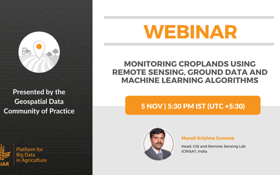
Webinar – Monitoring croplands using remote sensing, ground data & machine learning algorithms
This webinar by the Geospatial Data Community of Practice presents an overview of Dr. Murali Krishna Gumma’s croplands mapping work using satellite remote sensing, an extensive collection of ground referencing data, and machine learning algorithms.
Dynamic mapping of crop type and croplands is one of the most important geospatial data science applications in agriculture. In this webinar, Murali Krishna Gumma (ICRISAT) kindly agreed to present us the overview of his croplands mapping work using satellite remote sensing, an extensive collection of ground referencing data, and machine learning algorithms. This is an opportunity to hear all the exciting research updates directly from Dr. Gumma and discuss how he’s collecting data and continue his research under COVID-19.
Click here to download Dr. Gumma’s presentation.
Speakers
- Murali Krishna Gumma, Head of the GIS and Remote Sensing Lab at the International Crops Research Institute for the Semi-Arid Tropics (ICRISAT)
November 9, 2020


