News Archives:
June 24, 2019
A team of geospatial scientists at ICRISAT, led by Murali Krishna Gumma, successfully developed and implemented a MODIS-based workflow to map major staple crops in Malawi and detect major spatio-temporal changes occurred between 2010/2011 and 2016/2017.

May 31, 2019
A recently published study co-authored by Andy Nelson from University of Twente/ITC and Alice Laborte and Nasreen Islam Khan from IRRI, used the multi-temporal Sentil-1 intensity data to discriminate rice establishment methods.
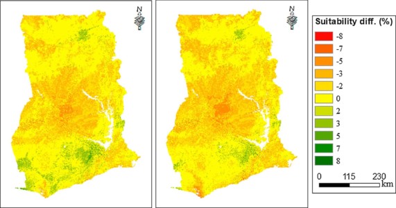
May 30, 2019
Nicole Lefore from IWMI co-authored a study evaluating the potential climate change effects on the land suitability for groundwater irrigation in Ghana.
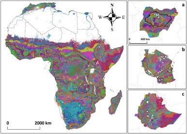
May 29, 2019
By spatially disaggregating subnational production statistics data, IFPRI‘s MapSPAM provides high-resolution global maps of 42 crops.
May 28, 2019
CGIAR Research Program on Climate Change, Agriculture and Food Security (CCAFS) released an integrated modeling framework, CRAFT, developed for running gridded crop modeling simulations.
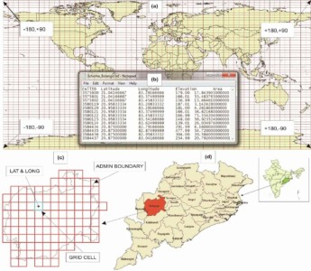
May 25, 2019
A new spatial framework was developed by a multidisciplinary team including scientists from CIMMYT and IITA.