News Archives:

April 17, 2020
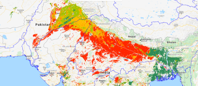
This blog post was written by Giriraj Amarnath, Surajit Ghosh, and Carolyn Fry at the International Water Management Institute and first published at Thrive by CGIAR Research Program on Water, Land, and Ecosystem. Take a look at the satellite map below. That vast swathe of orange and red across northwestern India and Pakistan depicts crops […]
April 16, 2020
The Digital Soil Mapping (DSM) is a data-driven technique that creates and populates spatial soil information systems by coupling field-measurements with spatial and non-spatial soil inference systems. In Africa, for example, the Africa Soil Information Service (AfSIS) project used the DSM approach to generate a great variety of soil property maps for the entire African […]
April 15, 2020
Introduced at the Strike Two Summit in late February, the new testing and learning platform aims to build the knowledge base for trust and transparency technologies in food systems.
April 13, 2020
Webinar organized by the Geospatial Data Community of Practice of the CGIAR Platform for Big Data in Agriculture.
April 8, 2020
Webinar organized by the Ontologies Community of Practice of the CGIAR Platform for Big Data in Agriculture.
April 6, 2020
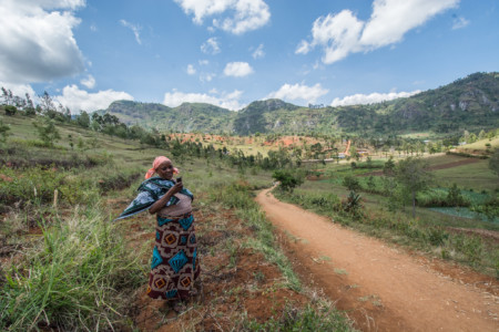
In Tanzania, overstretched extension services co-designed a tool that gives farmers 24-hour access to pre-recorded agricultural advice to facilitate extension work.