New atlas reveals climate-critical rangelands cover half the world’s land surface, supporting millions of people and critical ecosystems—yet often ignored despite threats
A CGIAR Inspire Challenge winner launches a global Rangelands Atlas.
‘For the first time ever, we have an accurate understanding of how much of our planet’s land is covered by rangelands. So far, conservation and development efforts have focused mostly on forests—we now know that rangelands should also receive increased attention’, said Shirley Tarawali, assistant director general of the International Livestock Research Institute (ILRI), which collaborated on the Rangeland Atlas.
The diversity and importance of rangeland environments are mirrored in the diversity and prestige of the report’s authors. In addition to ILRI, they include the International Union for Conservation of Nature (IUCN), the World Wide Fund for Nature (WWF), the United Nations Environment Programme (UNEP) and the International Land Coalition (ILC), with contributions from the Food and Agriculture Organization of the United Nations (FAO).
Until now, rangelands have rarely featured on international agendas. Just 10 percent of national climate plans (as part of the Paris Climate Agreement) include references to rangelands, compared to 70 percent of those plans including references to forests. Rangelands are known to play a key role in storing carbon, providing habitat for diverse wildlife and nature, and supporting the world’s largest rivers and wetlands.
A key reason rangelands have been underappreciated is the lack of definitive data capturing their size and value.
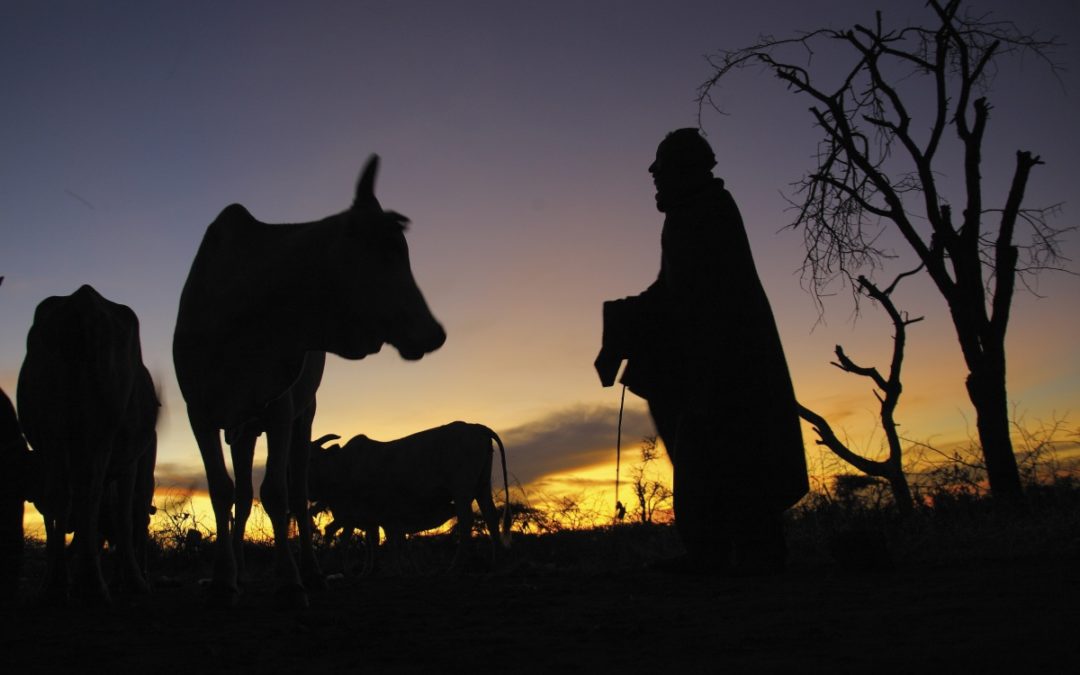
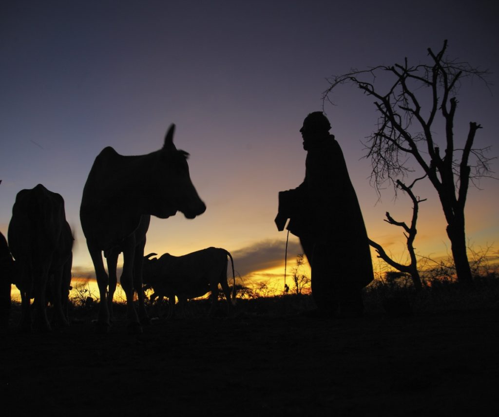
The Rangelands Atlas helps to fill that void and will be regularly updated. It captures key elements of the importance of rangelands, a large portion of which are dry, desert-like areas, for supporting people, wildlife and vegetation. For example, 70 percent of Mongolia is rangelands. In Chad, grazing livestock across remote tracts of parched rangelands accounts for 11 percent of GDP. The Northern Great Plains in the United States are one of the world’s four remaining intact temperate grasslands, supporting a menagerie of plants, birds and reptile species and providing a home to several Native American nations.
But the atlas reveals that due to threats, including large-scale industrial agriculture, these rangelands are being lost at a faster rate than the destruction of the Amazon rainforest.
To date, 12 percent of rangelands are designated as protected areas. Much of the rest is threatened from escalating conversion, particularly for croplands. The atlas shows that in the past three centuries more than 60 percent of wildlands and woodlands have been converted—an area larger than North America—and an area approximately the size of Australia (7.45 million km2) is now used to produce crops. This land-use change contributes to the climate crisis, but the atlas shows rangelands will also suffer from global warming. Drastic effects are predicated in an area twice the size of Europe, with nature being dangerously destabilized and the ability to produce food, fuel, and fibre being reduced.
‘If we’re to have any chance of achieving climate, nature and food goals, the management and use of rangelands must be addressed at the highest levels. Our hope is that rangelands will be included at upcoming UN conferences on biodiversity, climate, land and food’, added Tarawali, who is also the chair of the Global Agenda for Sustainable Livestock (GASL).
In the second half of 2021, government leaders will participate in annual conferences for the three Rio Conventions—on climate change (UNFCCC), biodiversity (UNCBD) and desertification (UNCCD)—along with the first-ever UN Food Systems Summit. Published ahead of the 5 Jun 2021 launch of the UN Decade of Ecosystem Restoration, the atlas can help guide governments, international and non-governmental organizations and donors on restoring, protecting and better managing rangelands.
The Rangelands Atlas consists of preliminary maps that are a starting point for gathering more detailed data on the exact ecosystem services and economic and social benefits that rangelands deliver to people and nature. It is available at www.rangelandsdata.org/atlas.
Click here to read the full article about the global Rangelands Atlas.
June 2, 2021
CGIAR Platform for Big Data in Agriculture
Latest news

