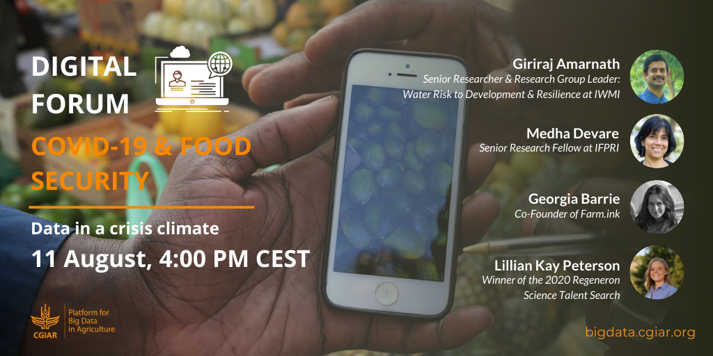
WEBINAR SUMMARY – Big data & COVID-19: Data in a crisis climate (Eps. 7)
The seventh episode of our Discussion Series: Big data solutions to COVID-19 & food security, brought together four panelists to discuss data in a crisis climate.
From using satellite remote sensing to monitor crop harvests to leveraging social media data to track population dynamics that may influence the spread of disease, big data tools and approaches have been instrumental in sensing and responding to the pandemic’s impacts on global food security and supply chains.
As we begin recovering and (re)building resilient food systems, we must leverage the power of big data to examine concepts of resilience and inform our understanding of how digital dynamism enables adaptive food systems in the face of shocks, and, in the longer term, addresses systemic issues in agriculture that have been exacerbated by the COVID-19 crisis.
The seventh panel, held 11 August, brought together four panelists to discuss data in a crisis climate.
WATCH THE RECORDING HERE
Here are the main take-aways from each of the speakers:
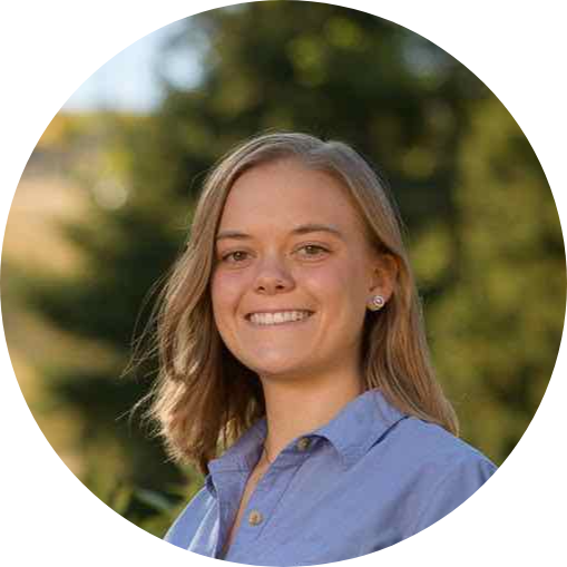
Lillian Peterson
Winner of the 2020 Regeneron Science Talent Search
Lillian Petersen is a 2020 high school graduate and an incoming Harvard freshman. She learned how to program in fifth grade and now uses these skills to investigate relevant questions using big data analysis. A few years ago, she created a model to predict crop yields in every country in Africa 3-4 months before the harvest using satellite imagery. She still keeps this model up-to-date to monitor current crop conditions. She has two papers in the journals Remote Sensing and MDPI Climate. See her website at lillianpetersen.github.io
Key takeaways from Lillian Peterson
- Africa has poor weather and crop health monitoring and reporting, worsened by the limited mobility of data collectors during the pandemic;
- A low-cost early warning system tested in one US state can be used to collect data across African countries; the system uses MODIS satellite data and national crop data;
- The model used has good predictability, with a low error margin; but Africa poses more challenges, due to its extensive cloud cover in forested areas, as well as because of its multiple growing seasons;
- The system does not rely on detailed ground observations, and can quickly predict crop yields anywhere in the world for major cereal crops.
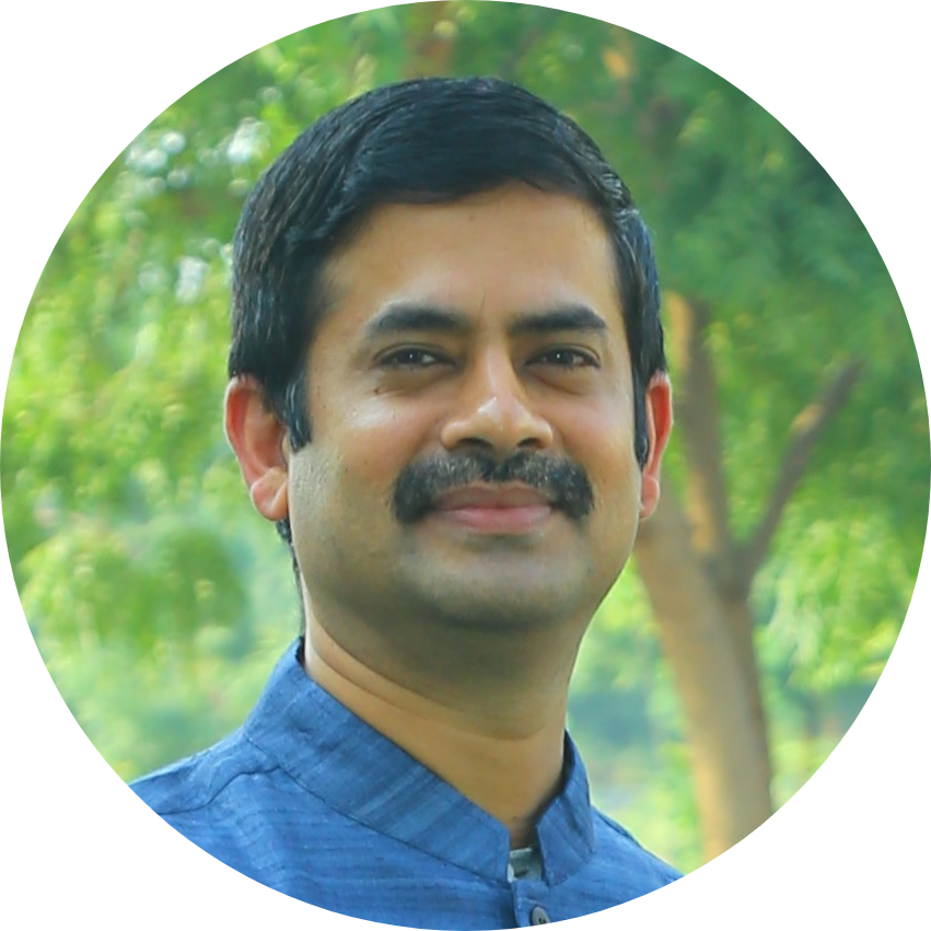
Giriraj Amarnath
Senior Researcher and Research Group Leader: Water Risk to Development and Resilience at the International Water Management Institute (IWMI)
Giriraj Amarnath is a Senior Researcher with the International Water Management Institute (IWMI). His research focuses on developing solutions to climate risk management using advanced science and technologies in different hydroclimate regions. He leads a research program on Water Risks to Development and Resilience (WR2DR) that aims to strengthen agricultural disaster risk management in South Asia, African countries namely index-based flood insurance, bundled insurance solutions with seeds and climate information services, drought monitoring and early warning in addressing food security that can help smallholder farmers adapt to climate change. He is also the recent winner of the World Geospatial Excellence Award for the work on the South Asia Drought Monitoring System to mitigate drought risks.
Key takeaways from Giriraj Amarnath
- Relying on a crop harvest tool to timely measure yields in different parts of the world is critical during crises;
- It is essential to put data in the public domain and share it with countries;
- Satellite data/maps can help nations make critical food production decisions during a crises, offering customised and timely advice on land preparation, cultivation, crop protection, harvest, mechanisms to cope with natural disasters, price disruptions and signs of potential speculation, guaranteeing social security, improving family nutrition through welfare schemes, social media and ICT systems;
- Data from Google Earth Engine can be very helpful in preventing losses and damages on farms;
- We need to also understand also the type of risks farmers are exposed to – looking at global data, water data, etc, to bridge knowledge gaps;
- Researchers and private companies can use open access data to solve problems.
Georgia Barrie
Co-Founder of Farm.ink
Georgia Barrie is a Co-Founder of the technology start-up Farm.ink. Farm.ink delivers interactive and engaging digital training to small scale farmers via a smartphone and has previously been the winner of the CGIAR Big Data Inspire Challenge. Georgia is equal parts software developer, UX designer and content creator and has previously worked with organisations such as TechnoServe and GSMA.

Key takeaways from Georgia Barrie
- Farm.Ink has trained over 250,000 farmers through a new open-sourced platform: Learn.Ink;
- Farm.Ink is also working with the International Livestock Research Institute (ILRI) under a Rapid Response Inspire Challenge grant to train dairy farmers on how to prevent COVID-19.
- Farm.Ink wanted to see a behaviour change among Kenyan dairy farmers to prevent spread of disease; it chose them because many of the current messages for COVID_19 prevention are kind of the same as those usually used for farmers;
- The project collected data and source material to create an initial, draft training, then it tested the digital training through Facebook and WhatsApp; impacted can be then measured on a live data dashboard; based on people’s responses, the training is then adapted; live results are expected within 8 weeks;
- Modules cover basic information on infectious diseases, transmission, cattle safety, milk hygiene.
- Lessons are in a chat format, found to be the easiest way to convey information; people can ask questions, play games, and take on challenges as part of the course, which is available on mobile phones;
- Testing the training is done remotely; feedback is generated quickly, within an hour after creating the course;
- Training the trainers has been successful, as extension workers with a smartphone can share information across their networks.
Medha Devare
Senior Research Fellow at IFPRI
Dr. Devare is a Senior Research Fellow at the International Food Policy Research Institute (IFPRI). She received her PhD from Cornell in Crop and Soil Sciences and has worked as an agronomist for CGIAR. Previously, Medha led a project in Nepal to improve productivity and profitability in farming systems, working closely with farmers to implement sustainable management practices. She is one of the key data architects for the CGIAR Platform for Big Data in Agriculture, and the Platform’s Module One lead. She is also the author and architect of the GARDIAN Ecosystem, CGIAR’s flagship data harvester, enabling the discovery of publications and datasets from across all CGIAR Centers and beyond.
Key takeaways from Medha Devare
- Making sure that data assets don’t contain privacy information that will be damaging is essential;
- The Global Agricultural Research Data Innovation & Acceleration Network (GARDIAN) enables the collection of standardised data, contains 200,000 publications and 30,000 datasets;
- GARDIAN is making data discoverable and is becoming the knowledge base for the agricultural world;
- Efforts to make data more available and user-friendly are constant and aim to give decision makers more agility in making choices and leveraging real-time data quickly, when there is no access to the field;
- Technology can be a moderate solution for crises management, but also we need to look at analytical solutions; the pandemic has given an opportunity to get more digital; all this will change the life of farmers who will be more dependent on tech-driven processes;
- The pandemic will bring about a step change in our ability to deliver information and collect data.
August 11, 2020
The BIG DATA Team
CGIAR Platform for Big Data in Agriculture
Latest news

