When climate problems arise, farmers collect and share vital information with GeoFarmer app
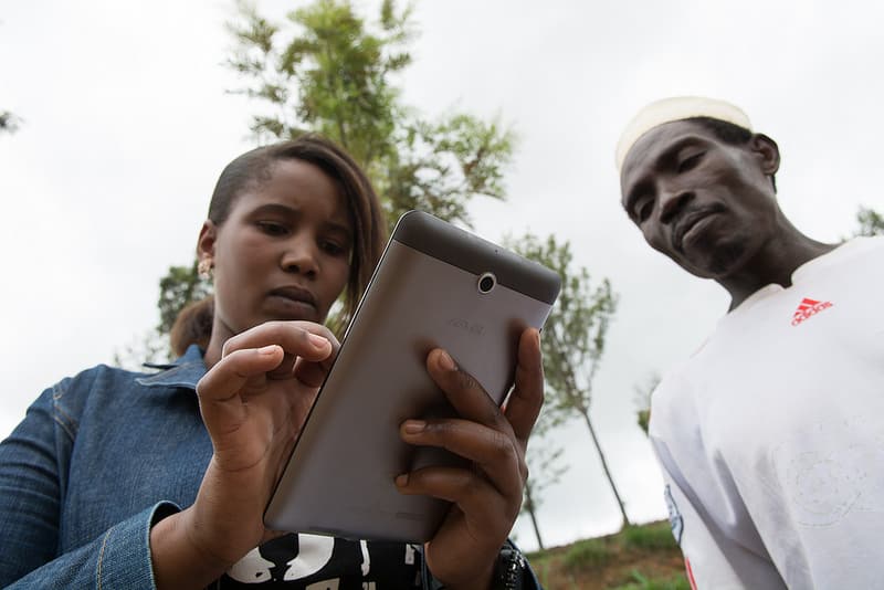
The GeoFarmer app allows community workers and smallholder farmers to collect and share information on climate-related agricultural interventions. The innovative tool works to close communication gaps among the development sector, researchers, and farmers.
An app tested with thousands of farmers in Colombia, Ghana, Tanzania, and Uganda, showed that farmers can quickly produce and distribute vital information when climate problems arise.
The GeoFarmer app allows community workers and smallholder farmers to collect and share climate-related agricultural intervention information such as geospatial data on weather and farm conditions, including soil and crop types. Farmers can also monitor the adoption of techniques that make farms more productive and resilient to climate change. Development agencies can use the tool to gather effective feedback and respond to emergent climate needs.
GeoFarmer was developed by the International Center for Tropical Agriculture (CIAT) in collaboration with the University of Salzburg.
April 17, 2019
Sean Mattson
Communications Officer
CIAT
Cali, Colombia
Latest news

