Geospatial CoP at the 2018 CGIAR Big Data Convention
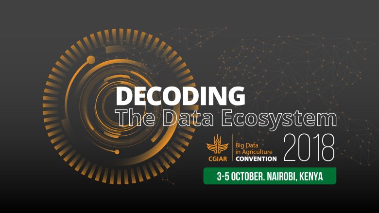
Greetings from the World Agroforestry Centre, Nairobi, Kenya — where the 2018 CGIAR Big Data Convention is taking place. If you’re not with us here, you can follow all the activities at https://twitter.com/CGIAR_Data.
As a part of the program, our community is organizing two geospatial-themed breakout sessions on Thursday, 4 October. You can join us in-person at Sesbania Room or connect remotely via WebEx (Meeting number (access code): 846 148 280 Meeting password: 123456).
The World at Your Fingertips: Democratization of Earth Observation from Satellites to Drones
4:15 – 5:05 PM, Thursday, 2 October 2018
 |
Satellites Lillian Petersen Student, Los Alamos High School https://lillianpetersen.github.io https://zenodo.org/record/1436016 |
 |
Drones Leka Tingitana Managing Director, Tanzania Flying Labs https://flyinglabs.org/tanzania https://twitter.com/lekaTZA |
Remote sensing data are democratized. More and richer earth observation datasets are becoming available, and everyone can freely access them already. This new source of information opens an exciting opportunity to incorporate (near-)real-time earth observation in the agricultural research and development. This session will provide an overview of the current use of remote sensing data in agriculture and present two use-cases on the real-time monitoring of agriculture in Africa, from satellites to drones. The participants will also discuss how we, as the community of agricultural practitioners, can further expand our use of remote sensing data in agriculture. Find more session information at https://sched.co/G0up
Why You Need to Code for Geospatial Data Science
5:10 – 6:00 PM, Thursday, 2 October 2018
 |
Robert Hijmans Professor, University of California – Davis https://desp.ucdavis.edu/people/robert-j-hijmans http://rspatial.org |
 |
Kauê de Sousa Research Fellow, Bioversity International | INN University https://www.bioversityinternational.org/about-us/who-we-are/staff-bios/single-details-bios/de-sousa-kaue |
“Big” geospatial datasets are becoming publicly available at a fast pace, and they are opening new opportunities to incorporate large-scale spatial data in agricultural research. To make the best use of these and realize the full potential, however, researchers need to be proficient in computer programming — to deal with issues in data preparation and apply a variety of analytical techniques at scale. This skill set is not commonly found in the community of agricultural scientists, but it’s not too difficult to acquire. This session will provide an overview on the current state of geospatial data analysis in agriculture along with selected use-cases, present a use-case from Bioversity International, and discuss opportunities and challenges for fully incorporating computer programming in the geospatial research workflow, and present the geospatial COP’s efforts to build the capacity for geospatial data science in CGIAR. Find more session information at https://sched.co/G0ut
October 4, 2018
CGIAR-CSI

