2018 & 2019 Winner
Using commercial microwave links (CMLs) to estimate rainfallsThis Inspire Challenge proposal was selected as a 2018 pilot project and 2019 scale-up runner up project, with the team receiving a total of 225,000 USD to put their ideas into practice.
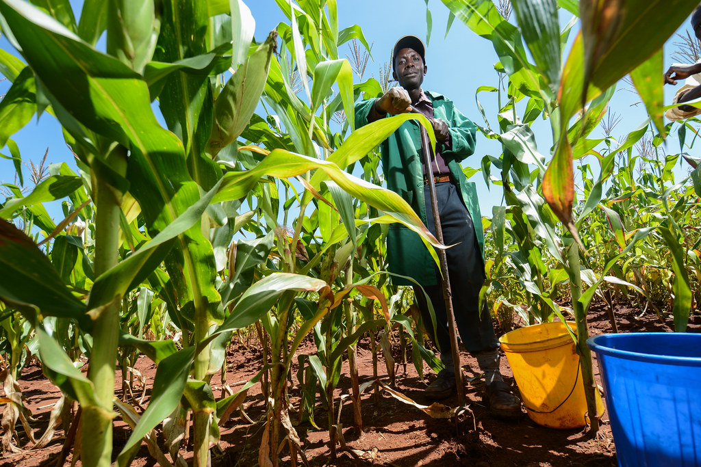
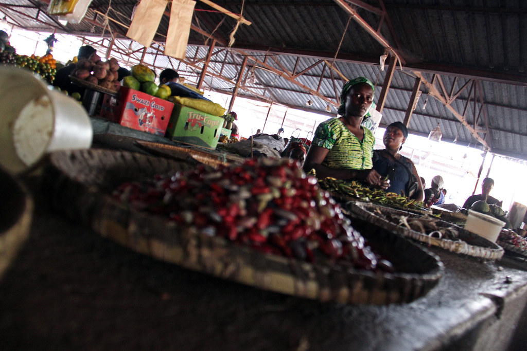
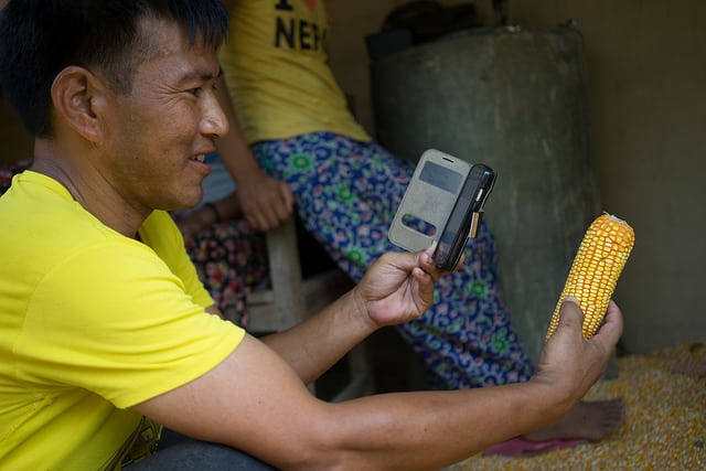
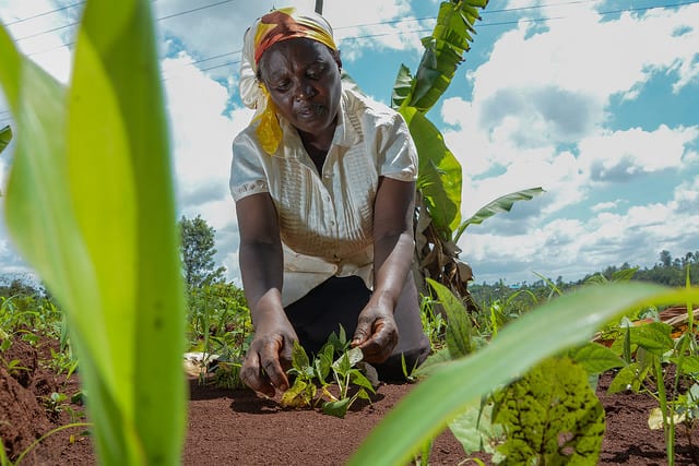
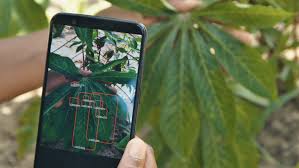
Working with data from several cellular network operators in various locations around the world, as well as data from household surveys, weather stations, and satellites, this project aims to demonstrate the potential of using recent advances in CML technology to estimate rainfalls in crop production monitoring and improve rainfall-based index insurance, ultimately benefiting farming households. This project is the first intended assessment of application of the CML technology in crop production monitoring.
More about the project
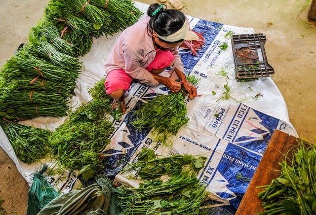
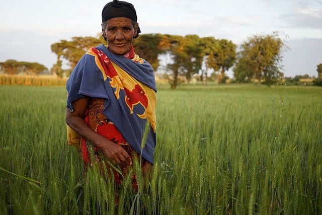
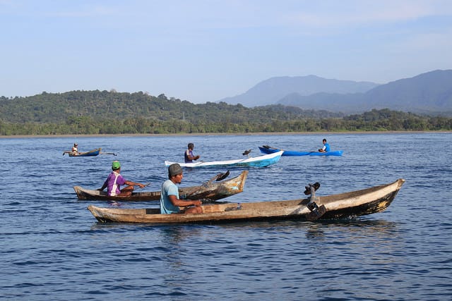
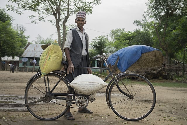
Accurate, real-time rainfall measurements can be challenging to obtain in developing economies as traditional rainfall monitoring techniques (rain gauge, satellites, radars) can be costly and weather stations are often sparsely located. This data gap leads to high basis risks of rainfall-based index insurance, which hurts smallholder farmers.
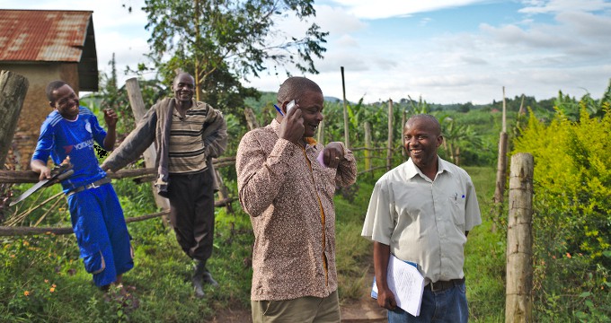
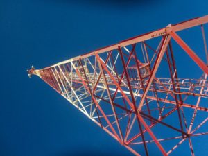
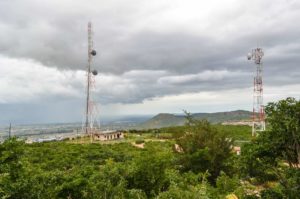
However, in many regions where traditional rainfall data is unavailable, mobile phone service provider networks are widespread. The wireless commercial microwave links (CMLs) used in these networks are widely deployed, and, because rainfall causes attenuation to the radio signals between transmitter and receiver stations in the network, CMLs can be used to draw reliable rainfall estimates based on changes observed in the quality of the signal.
CMLs have the potential to provide quantitative rain estimates with high spatio-temporal resolution as measurements are taken typically every 15 minutes. Furthermore, the project offers a sustainable solution because the implementation cost is minimal; the network infrastructure is in place and the CML data is already collected and logged by many of the cellular operators for quality of assurance needs.
Finally, many of these links are installed in areas where access is difficult such as orographic terrain and complex topography. Therefore, the CML method enables measurements in places that have been hard to access in the past or where rainfall has never been measured before.
Step by step
2021
MARCH 2021
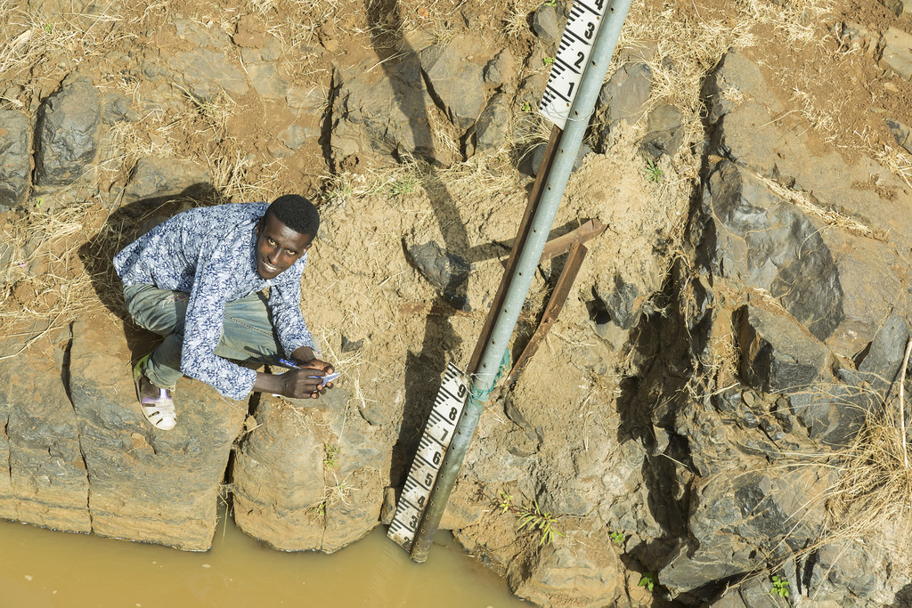
Analysis of data from Guatemala
The team received CML data from mobile phone service provider Tigo. The nine links from the Chiquimula Department of Guatemala will be analyzed and compared to rain gauge data.
MARCH 2021
Journal article published
The team’s article “On the Power of Microwave Communication Data to Monitor Rain for Agricultural Needs in Africa” was published in the open access journal, Water.
APRIL 2021
Book chapter published
The paper that the team presented at the International Conference on Environmental Science and Technology in 2019 was adapted into a chapter for the Springer book series: Advances in Science, Technology, and Innovation.
OCT 2021
Multi-country analysis
The team aims to present a combined analysis with CML data from Kenya, Ethiopia, and Guatemala.
2020
MARCH 2020
COVID-19 impacts and adaptations
The project’s progress was significantly delayed in Guatemala due to the COVID-19 pandemic and its impacts. However, the team successfully obtained CML data from Ethiopia, and its analysis is ongoing.
APRIL 2020
Articled published in The Conversation
In an article about the project, The Conversation examines how the team’s findings suggest that farmers will benefit from more accurate crop yield monitoring.
2019
MARCH 2019
Partnership for Kenyan data
The team partnered with the Department of Geo-Information Science and Earth Observation (ITC) at the University of Twente, Enschede, Netherlands.
The University of Twente provided CML and rain gauge data from Kericho, Kenya.
AUG 2019
Guatemala field visit
The team traveled to Guatemala to discuss the project with potential partners including Tigo Guatemala, the Famine Early Warning Systems Network, Guate Invierte, Microrisk, and USAID.
The team obtained CML data from Chiquimula Department and the western highlands region.
AUG 2019
Acquisition of satellite data and comparison with rain gauge data
The team obtained satellite data from Climate Hazards Group InfraRed Precipitation with Station data (CHIRPS), an open source, 30+ year quasi-global rainfall dataset.
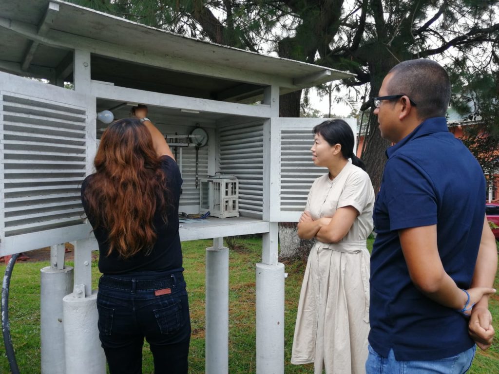
The satellite and weather station data have been compared with rain gauge data to show that CMLs can acquire reliable rainfall estimates which may, at times, even outpace that of conventional instruments which are sparsely deployed in the field.
SEPT 2019
Conference paper and presentation
The team authored a paper on the analysis of the CML and rain gauge data from Kericho that was accepted by the 16th International Conference on Environmental Science and Technology. The paper was presented at the Conference in Rhodes, Greece, 4-7 September 2019.
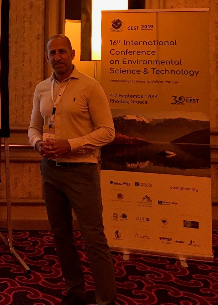
Noam David at the 16th International Conference on Environmental Science & Technology.
OCT 2019
Project awarded US$125K Inspire Challenge scale-up grant
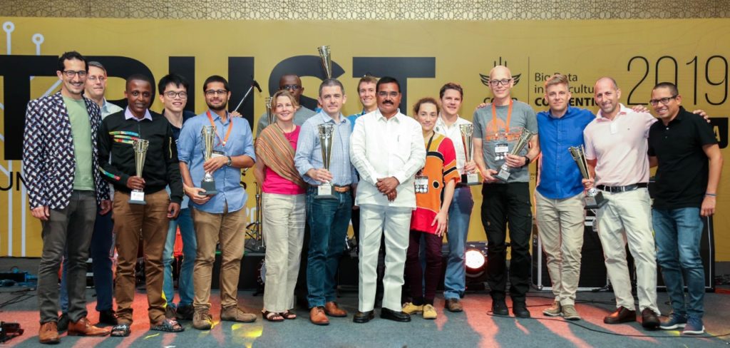
The project was awarded a 2019 Inspire Challenge Scale-up grant of US$125K at the third annual convention of the CGIAR Platform for Big Data in Agriculture, 16-18 October 2019.
2018
OCT 2018
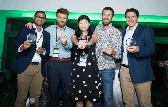
Project awarded US$100K Inspire Challenge grant
The project was one of five winners of the Inspire Challenge 2018 and was awarded US$100K at the second annual convention of the CGIAR Platform for Big Data in Agriculture, 3-5 October 2018.
Partners
Project News and Resources
How mobile phone towers could help monitor rainfall in developing countries
Harnessing telecommunications network data for rainfall monitoring in developing countries
Meet all the Winners